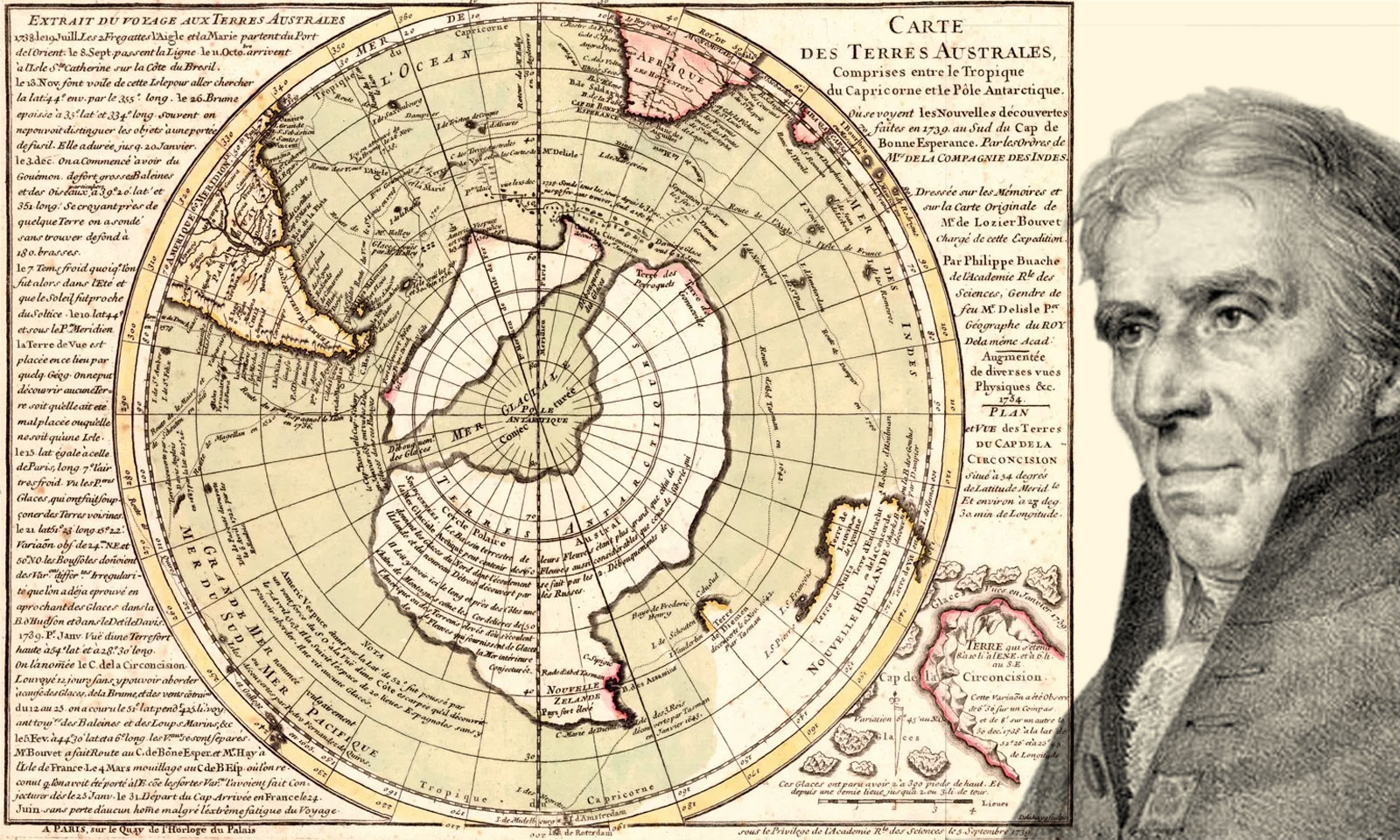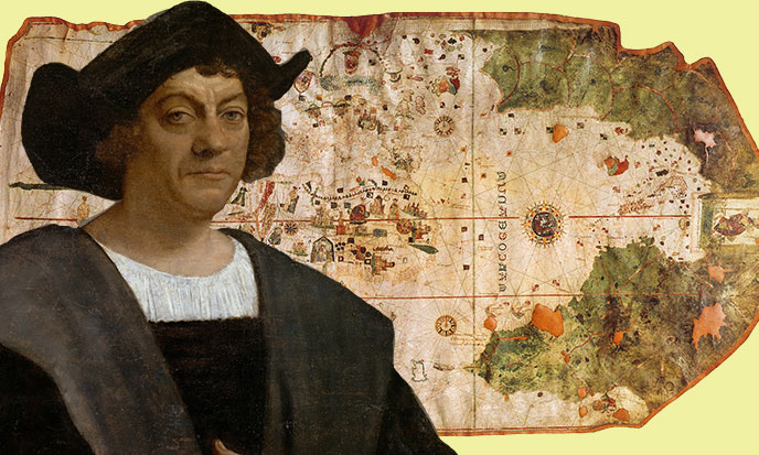
The Portulans are ancient nautical charts copied many times. There are very curious indications: next to the coasts and very real islands, these ancient maps show islands and coasts disappeared, or hidden by the ice for tens of thousands of years.
Besides the precious indications they give us, these famous portulans also bring evidence of the existence of a maritime civilization developed enough to produce accurate maps at a time when the homo sapiens was supposed to break stones by shouting goldsmith. They alone prove that historians mock us, their science and the truth. Decidedly our history is too big for the narrow brains of specialists. Among these precious testimonies, the maps of the Turkish admiral Piri Reis represent undoubtedly the most precious legacy.
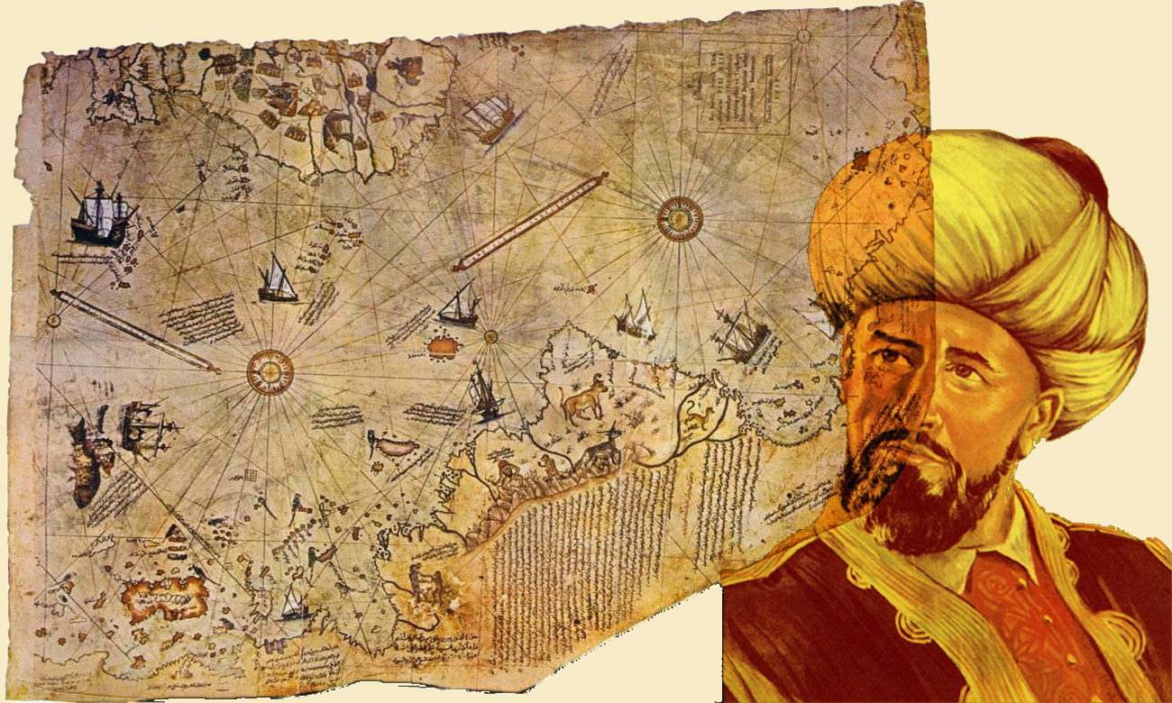
“Piri Ibn Haji Mehmed known as Piri Reis was a great admiral (“reis” in Turkish) of the Ottoman fleet in the 16th century, born in Karaman. Nephew of the famous pirate Kemal Reis dit Camali, he is best known for his cartographer work. Literate, he was passionate about cards and collected them.” (Wikipedia)
The map of Piri Reis is only the fragment of a larger map representing the world known at the time it was made, and the rest of which is now lost. The Turkish admiral says he was inspired by about twenty other maps, ranging from ancient Greek to those very recent ones established by the pilot of Christopher Columbus, captured in the Mediterranean by the uncle of Piri Reis, or those established by other Portuguese navigators.
This is a very complete map for the time. One of the features of this map is the detailed representation of a coast connected to the southern zone of South America, which some say resembles the coast of Antarctica, a continent that was not officially discovered until 1818.
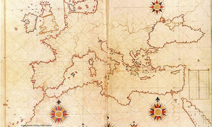
The hypothesis is supported by Charles Hapgood, an American professor of the history of science, in his book Cartes des Anciens Rois des Mers. Made 300 years before the discovery of Antarctica, this map shows the coast as it appears under the ice, which would trace the information back to 10,000 years, when the ice had not yet formed. (Wikipedia)
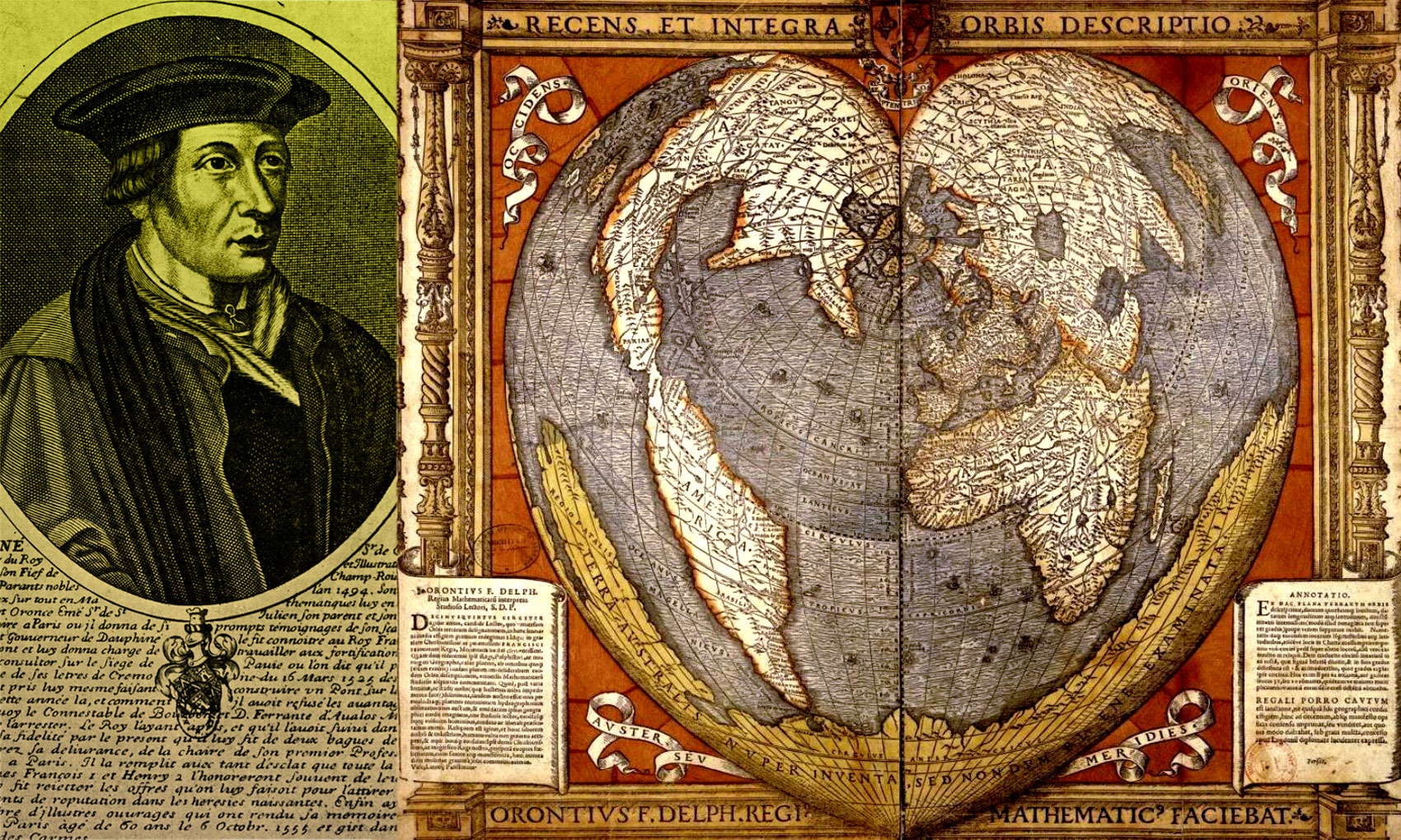
Oronce Fine aka Orontius Finaeus, French astronomer, mathematician and cartographer of the 16th century, drew another quite curious map. Its heart-shaped world map represents Antarctica without a trace of ice, which would make it go back before the ice age of Würm/ Wisconsin, that is to say more than one hundred thousand years! Finaeus’ map was discovered by Charles Hapgood in the Library of Congress in Washington. Traced by Orontius Finaeus in 1531, it shows the sixth continent with its rivers and streams, drainage systems and a clean coastline completely free of ice.
Antarctica has been under a thick layer of ice for over a hundred thousand years.
French geographer Philippe Buache published another map of Antarctica in 1737, long before this continent was discovered. Once again, it shows the land free of ice and invisible coasts then appear: one can see the inlet that separates the two islands from Antarctica.
Finally, recently, Graham Hancock found a third map where the Antarctic is so frank. Will this mystery, which has been stirring researchers for centuries, finally be solved?
Part of the answer could be given to this enigma: among the ancient maps of which these authors were inspired, there were probably maritime documents dating from Atlantis, raised by Atlantean navigators who also owned flying machines, This greatly facilitates mapping.
![Graham Hancock, By [Cpt.Muji] (Own work) [CC BY 3.0 (http://creativecommons.org/licenses/by/3.0)], via Wikimedia Commons , https://commons.wikimedia.org/wiki/File:Graham-Hancock.jpg -- -- -- modified by / modifié par Stef Kervor pour Eden Saga graham-hancock-sk-eden-saga-688po](https://eden-saga.com/wp-content/uploads/Graham-Hancock-sk-eden-saga-688po.jpg)
These cards have been faithfully copied from generation to generation for ten thousand years or more. This is not surprising, because nautical documents are sacred.
They have always been preserved and carefully copied for navigation and trade. The extreme antiquity of their Atlantean origin would explain why these maps show us the ice-free coast of Antarctica, as was – twelve thousand years earlier or more – part of the Antarctic coast.
The mere existence of such maps would be sufficient to prove that of Atlantis, or any other civilization advanced enough to make reliable surveys. But for whom would the existence of Atlantis still need to be proven? Oh yes, I forgot! For historians, scholars and other academics, who despite all the evidence and heaps of clues, will continue for a long time to turn a deaf ear and a thin mouth. All their science has not protected them from complacency.
